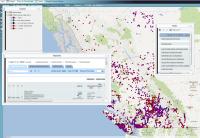
The Fisheries Information Summary System (FISS)provides spatially represented summary level fish and fish habitat data for waterbodies throughout British Columbia and the Yukon. The information is in database format and can be displayed on the 1:50,000 Watershed Atlas. FISS is a jointly funded project by BC Fisheries and Fisheries and Oceans Canada.
FISS is made up of data and map components. Fish and fish habitat themes included are fish distribution, enhancement and management activities and objectives, gradient and macro-reaches, land use, water use, water quality activities, obstructions, resource use, flow, fisheries potential and constraints, escapement, value and sensitivity, life history and timing, and harvest and use. The data entry tool on the Community Mapping Network facilitates efficient updating through online data entry and digitizing.

