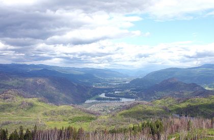
We are the North Thompson Sustainable Watershed Mapping Group (NTSWMG), composed of a cross-section of North Thompson Valley organizations and individuals that work together to foster the sharing of information and the development of new types of Internet-based local maps. These interactive maps provide valuable information and help individuals, governments, businesses, and groups within the communities of the North Thompson Valley make sound decisions. The members of the North Thompson Sustainable Watershed Mapping Group include the North Thompson Communities Foundation, the North Thompson Food Coalition, and the Community Resource Centre for the North Thompson. We are working in collaboration with members of the Community Mapping Network, the Fraser Basin Council and the Kamloops South-Thompson Mapping and Capacity Partnership towards creating a sustainable future for the North Thompson valley. The North Thompson Sustainable Watershed Atlas is the Group’s initial effort to map our valley’s social, environmental, cultural, economic and infrastructure assets, resources and values. “Sharing information and resources to improve the capacity of decision makers within the context of achieving a healthy and sustainable life in the North Thompson Valley.”
Contact Organizations
Edward Richardson, Clearwater, BC Dave Whiting, P.Ag, MCIP Community Mapping Coordinator, Thompson Region, Fraser Basin Council Phone: (250) 372-7088 Fax: (250)434-6329
Brad Mason, CMN Director [email protected]

