Region: British Columbia
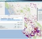
AIP – BC Watershed Statistics
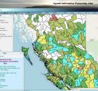
The Aquatic Information Partnership (AIP) goal is to make aquatic related information easily accessible and to create knowledge that could help conserve or maintain healthy ecosystems.
The AIP catalogue...
BC Marine Conservation Analysis Atlas
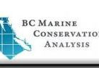
British Columbia Marine Conservation Analysis (BCMCA) is a collaborative project designed to provide information about marine biodiversity and human activity in BC’s marine waters.
In partnership with the BC Conservation Foundation...
BC NGO Conservation Lands Atlas
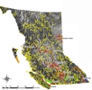
The BC NGO Conservation Lands Atlas is a joint effort to collect the spatial boundaries of all conserved lands secured by Non Governmental Organizations (NGO) and other agencies and organizations....
BC Wetlands Atlas
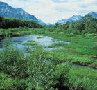
The BC Wetlands Atlas provides a citizen-science based approach to mapping wetlands in British Columbia and is an initiative of the BC Wildlife Federation’s Wetlands Education Program. The Atlas includes...
Fisheries Information Summary System Data Entry Tool
The Fisheries Information Summary System (FISS)provides spatially represented summary level fish and fish habitat data for waterbodies throughout British Columbia and the Yukon. The information is in database format and...
Forage Fish Atlas and Data Management System

The ecosystem role of forage fish and the need to protect their critical spawning and rearing habitats requires recognition and public attention. The BC Shore Spawners Alliance is an alliance...
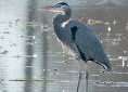
Great Blue Heron (GBHE) Management Team
The web map viewer for this atlas has changed. Be sure to ALWAYS access the atlas using the link provided on this page.
If you use an old bookmark you will...
Invasive Species – Spartina.ca
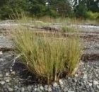
Welcome to the Invasive Species Atlas and home page for the BC Spartina Working Group, a multi-partner initiative in BC and the Pacific Coast to find and control Spartina species.
The...
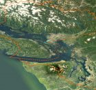
Lower Mainland Flood and Environment Atlas
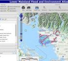
An online atlas was developed for collating best available data about environmental values and features along the Fraser River from Hope to Richmond and coastal foreshore areas from White Rock...
Pacific Region Contaminants Atlas
The Pacific Region Contaminants Atlas (PRCA) is an online resource tool which was designed to explore environmental contaminant topics in British Columbia, Canada. Information sharing is vital...