Software Version: GoMap viewer for MG OS (Mac & PC)
BC Marine Conservation Analysis Atlas
British Columbia Marine Conservation Analysis (BCMCA) is a collaborative project designed to provide information about marine biodiversity and human activity in BC’s marine waters.
In partnership with the BC Conservation Foundation...
Coquitlam River Watershed Roundtable
The Coquitlam River Watershed Roundtable (CRWR) is a multi-stakeholder and Indigenous knowledge collective within the Lower Coquitlam River Watershed, whose mission is to
- Provide a forum to encourage holistic watershed...
Eelgrass Bed Mapping
Land use changes and developments have led to a loss of natural estuarine habitat in British Columbia. Agriculture, forestry, and dredging for commercial and residential development have all contributed to...
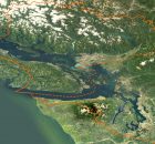
Lower Mainland Flood and Environment Atlas
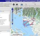
An online atlas was developed for collating best available data about environmental values and features along the Fraser River from Hope to Richmond and coastal foreshore areas from White Rock...
Nechako Watershed Health Atlas
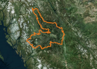
Welcome to the Nechako Watershed Health Atlas. The overall goals of the project are:
- to assess the health of the Nechako River watershed in north central BC using best available...
Pacific Region Contaminants Atlas
The Pacific Region Contaminants Atlas (PRCA) is an online resource tool which was designed to explore environmental contaminant topics in British Columbia, Canada. Information sharing is vital...
Shorekeepers Atlas
The first warm day of spring, with a low tide, almost always draws people out to stroll along the shore, to beachcomb, or explore the tidepools. The intertidal zone is...
Stewardship Project Registry – SPR
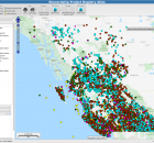
The Stewardship Project Registry Atlas captures records of completed projects (as far back as the mid 1990s) for many of the funding organizations in the Pacific Region. The data base...
Wildlife Tree Stewardship
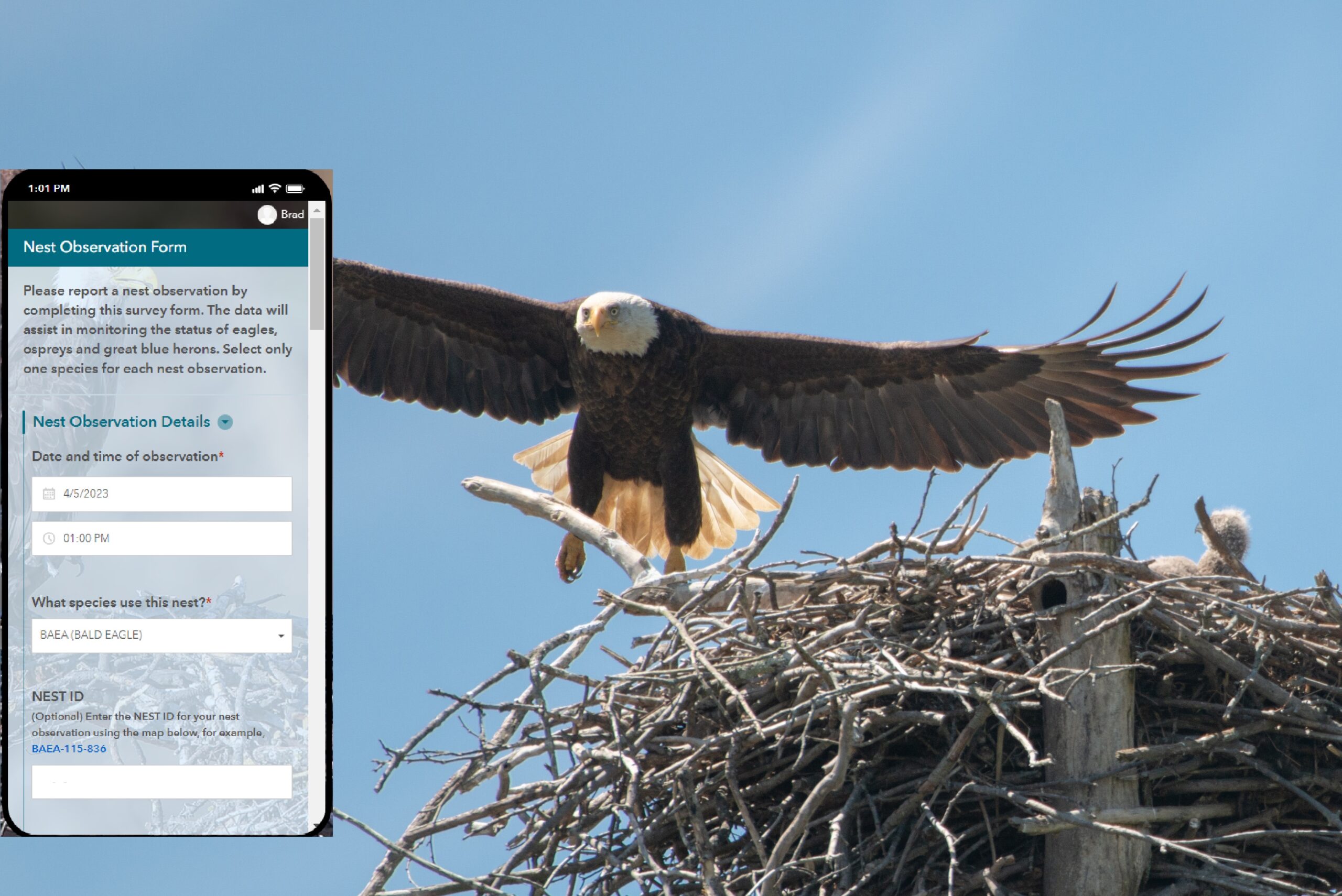
Welcome to the WiTS Atlas. The Community Mapping Network (CMN) has a new publicly available mobile app for collecting and recording nest observations in the field. The...